Innovation to diffusion
GISIG is an Association operating in the field of Geographical Information Systems, grouping organisations from more than 20 European Countries.
GISIG represents a reference centre for common initiatives among GIS operators and users, also acting through the promotion of European projects and the establishment of thematic networks and national secretariats. Learn more…
- We promote and coordinate European funded projects
- We establish thematic networks for a collaboration environment
- We promote training initiatives about GIS and their applications
- We promote networking initiatives for GIS operators and users
- We group together universities, enterprises and administrations
Featured Projects
spaceSUITE
Earth Observation/Geoinformation training, EO, Training
An innovative curricula in training and education to bridge the gap between the skills’ supply and changing demand in the downstream space sector.  
DIS4SME
Data Integration, Interoperability, Training
Training courses on geospatial Data Interoperability Skills for SMEs  
100KTrees
Copernicus, Earth Observation/Geoinformation training, Environment, Nature Based Solutions, Smart City
Data from space and citizens' engagement to help European cities become greener  
SPACE4GEO Large-scale Skills Partnership
Copernicus, Earth Observation/Geoinformation training
SPACE4GEO is the Large-scale Skills Partnership for the space sector dedicated to data, services and applications  
BIRGIT
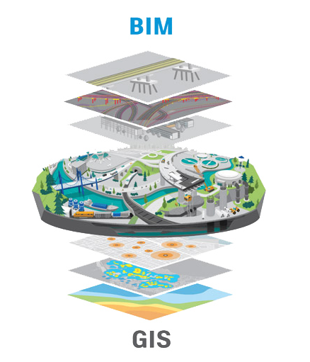
BIM, Data Integration, Training
Interdisciplinary training courses to provide competences and skills for successful BIM-GIS integration.
The GISIG Training Library
The GISIG Association makes available a number of training resources coming from research projects, European training initiatives and the GISIG Members.
Check a selection of these GIS, INSPIRE and COPERNICUS courses in our dedicated training page.
Access to the GISIG Training Modules is free of charge but registration is required.
Latest News & Events
Multiplication event for the BIRGIT project in Genoa
The BIRGIT project, GISIG and the mapping Office of the Municipality of Genoa are the organizers of the event “Challenges and Opportunities in BIM-GIS Integration” the will be held in November 14, 2024 in Genova, Italy.Kicking off the SpaceSUITE project in Genoa, Italy
Between 1 and 2 February 2024, 28 partners and members from Academia, vocational education and training (VET) providers, associations of governments, and representatives of industry companies from Italy, Germany, France, Spain, Belgium, Austria, Netherlands, Portugal, Greece, Slovenia and Estonia, kicked off the new SpaceSUITE project in Genoa, Italy.Happy 31st birthday to GISIG!
Founded on 12 October 1992, we are the first association on GIS born in Europe.
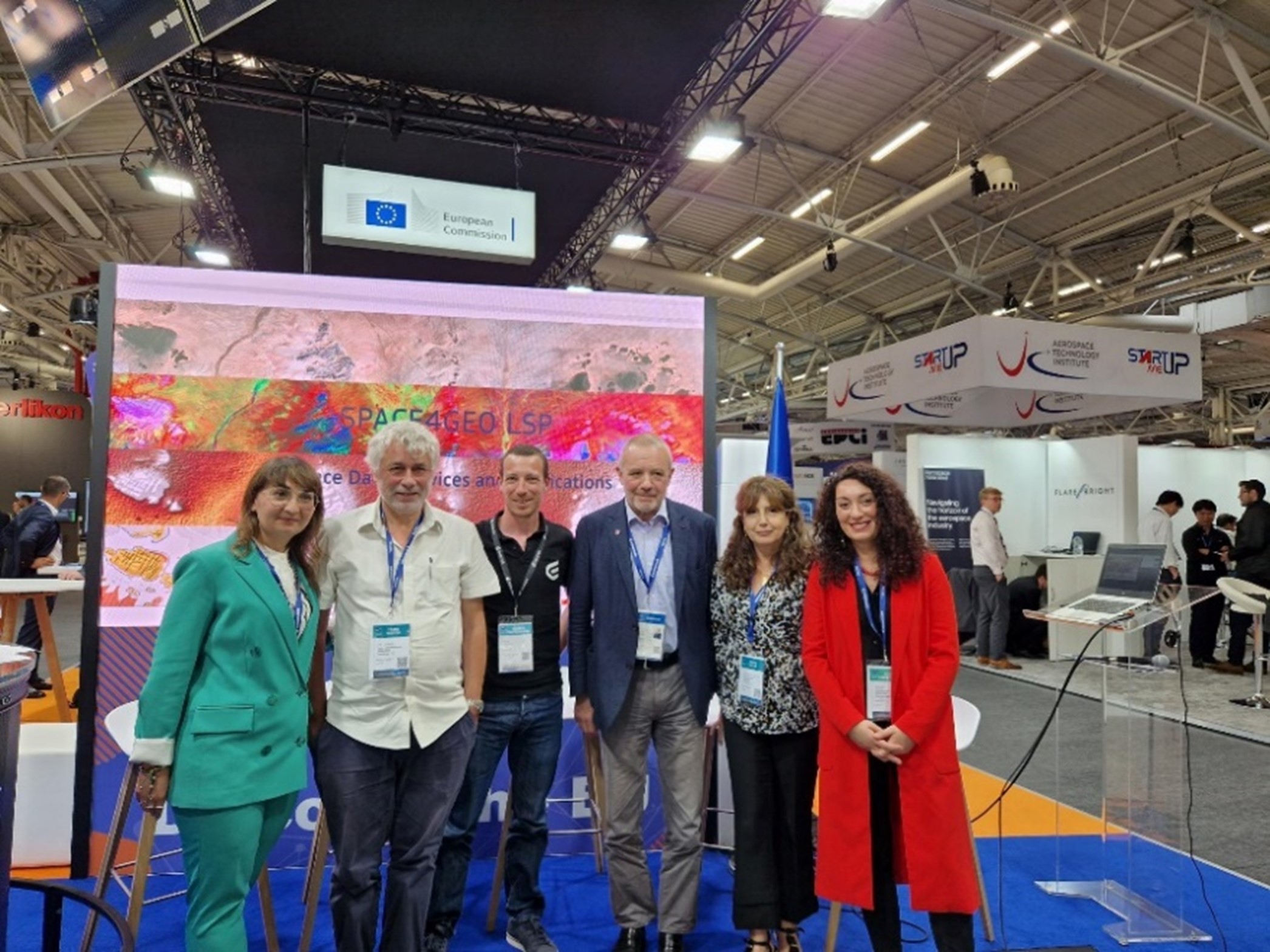
Launching event of the SPACE4GEO Large-Scale Partnership on Space Data, Services and Applications
DG DEFIS hosted the launching event of the SPACE4GEO Large-Scale Partnership, coordinated by GISIG, in the frame of the Paris Air Show, the 22nd June 2023.


